Centralized Layer Context


Need Any Help ?
Call Now : +1 850 765 528 9
About Us
Empowering GIS teams to build a shared understanding of spatial data with robust documentation.
LayerLedger provides an intuitive online workspace where GIS teams document map layers, data sources, and project context. We ensure consistent interpretation of critical spatial information across your organization.
-
-
Enhanced Team Collaboration
-
Reduced Data Misinterpretation
Join the teams who trust LayerLedger for clear, consistent, and reliable GIS documentation.
Documented Layers
Collaborative Teams
Projects Supported
Data Sources Tracked
Our Skills
Our expertise in GIS, data management, and collaborative platforms ensures a top-tier solution.
LayerLedger is built on a foundation of deep understanding in geographic information systems and data integrity. Our platform integrates seamlessly with existing workflows, providing powerful tools for clarity and consistency in spatial data projects, empowering every team member.
GIS Integration
Data Governance
User Experience
Testimonials
What Client Say's
Hear from our valued clients about how LayerLedger has transformed their GIS documentation workflows.
LayerLedger transformed how our team shares GIS insights. We now have a single source of truth for all map layers.

The intuitive interface made onboarding incredibly easy. Our junior analysts are documenting layers like pros.

While initially focused on documentation, LayerLedger has unexpectedly improved our project planning and consistency.

We appreciate the clarity LayerLedger brings. It helps us avoid misinterpretations of critical spatial data.

Team
Meet Experts
Meet the dedicated professionals driving LayerLedger's innovation and commitment to GIS excellence.

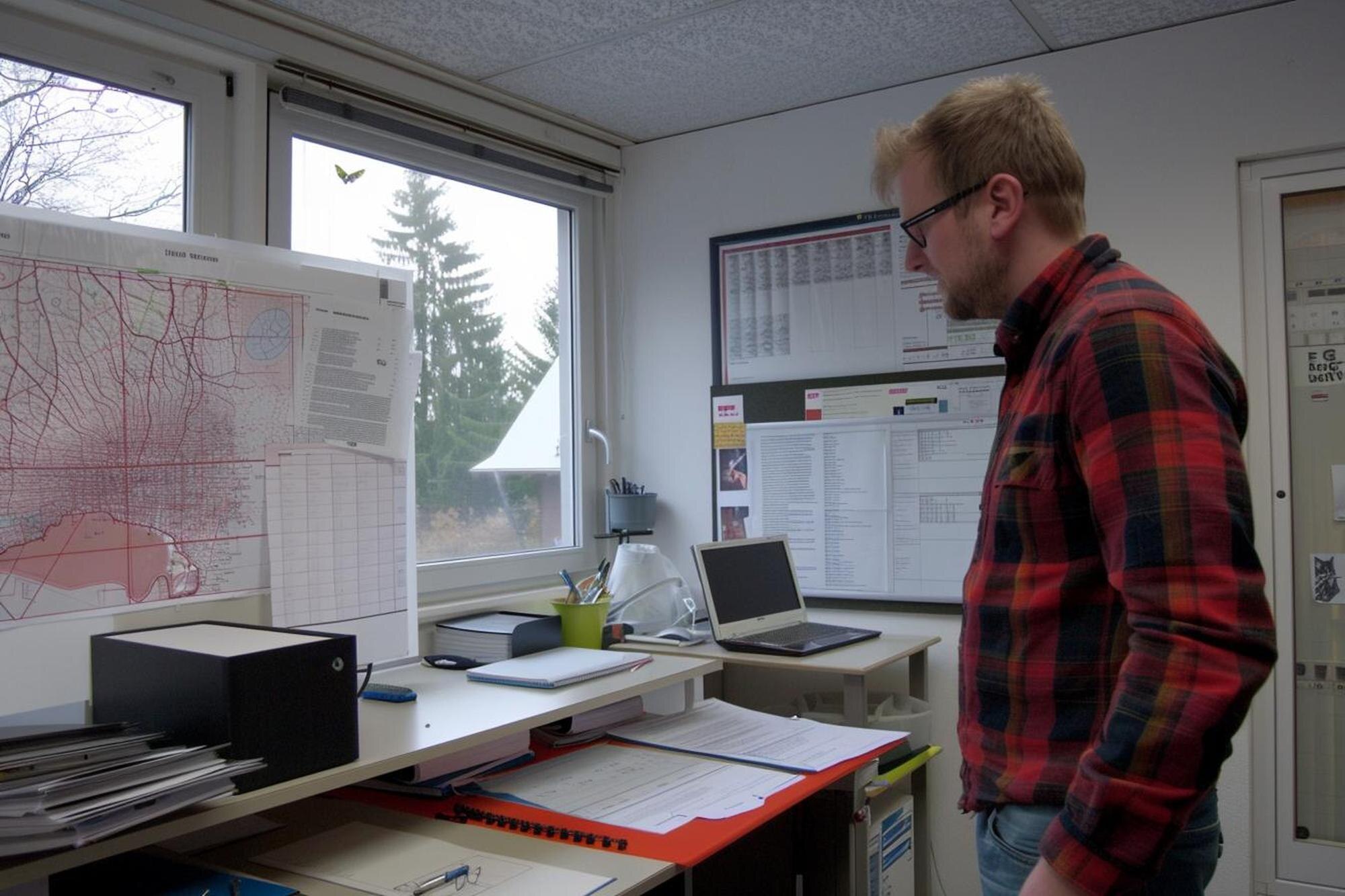
Sylvester Gomez
GIS Specialist
Savannah Lopez
Software Engineer
Clara Matthews
Data Analyst