GIS Data Integrity: Why Context is Your Most Valuable Layer
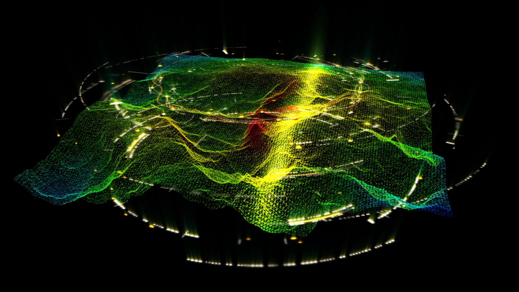
The realm of Geographic Information Systems (GIS) is fundamentally about understanding our world through spatial data. However, its true utility extends beyond raw coordinates. Data integrity in GIS implies not just accuracy, but also reliability and consistency. Without a robust foundation, even visually appealing maps can lead to flawed conclusions.
At the heart of effective GIS analysis lies the often-underestimated power of context. While precise measurements are critical, they only tell part of the story. Contextual information provides the "why" and "how" behind spatial patterns. It transforms data points into meaningful insights, enabling deeper comprehension of represented phenomena.
Consider a dataset showing property boundaries. While geometric accuracy is paramount, knowing zoning regulations, historical land use, or environmental overlays adds invaluable understanding. This contextual enrichment allows for more informed planning, better resource allocation, and a proactive approach to challenges. It's about seeing the bigger picture.
Many organizations rely on GIS for critical decision-making, from infrastructure development to emergency response. In these scenarios, stakes are high. A dataset technically accurate but lacking proper contextual metadata can misguide efforts, leading to inefficient operations or significant setbacks. Understanding the full story is essential.
The rapid proliferation of spatial data sources, from satellite imagery to IoT sensors, makes contextual understanding even more pressing. Integrating diverse datasets without grasping their origins, methodologies, and biases can introduce errors. This demands a sophisticated approach to data governance, a principle LayerLedger strongly advocates.
Applications and Considerations for Contextual GIS
- Urban Planning: Contextual data like socio-economic indicators, historical development, and future growth projections are vital. It ensures infrastructure aligns with community needs, though integrating diverse data sources can be complex.
- Environmental Monitoring: Understanding ecological processes requires contextual layers such as climate patterns, soil types, and land cover history. This aids conservation, but data collection consistency across regions remains a challenge.
- Logistics and Supply Chain: Beyond mere routes, contextual data on traffic patterns, weather forecasts, and regulatory zones optimizes delivery. It enhances efficiency, yet real-time data integration demands robust systems.
Perspectives on Contextual Data Integration
Experts widely agree that while geometric accuracy is foundational, GIS value is unlocked through contextualization. Dr. Anya Sharma, a geoinformation scientist, emphasizes that "a point on a map is just a coordinate until you understand its relationship to everything else – its history, purpose, environment." This underscores the need for comprehensive metadata.
However, achieving comprehensive contextual integration presents significant challenges. Data often originates from disparate systems, collected using varying standards and temporal references. Harmonizing these differences requires advanced technical solutions and deep domain-specific understanding. It's a complex undertaking requiring careful planning.
Another discussion point revolves around the subjectivity of context. What one analyst considers relevant, another might deem extraneous. This highlights the importance of clearly defined project objectives and robust data governance frameworks. Establishing clear guidelines mitigates discrepancies and ensures consistency in interpretation.
Some argue that over-contextualization can lead to data overload, making analysis cumbersome. The key lies in finding the right balance – providing sufficient context without overwhelming users. This necessitates intelligent data filtering and visualization tools that dynamically present contextual layers as needed, ensuring clarity.
Final Observations and Recommendations
The integrity of GIS data hinges on its contextual richness. Understanding the "story" behind the data empowers organizations to make truly informed decisions, transforming raw information into strategic intelligence. This drives efficiency and innovation.
Embracing context as a primary layer in GIS operations requires a strategic shift. It involves investing in metadata practices, fostering collaboration, and utilizing advanced tools. This approach yields substantial long-term benefits for spatial data utilization.
Comments 0
Leave A Comment