Build Enduring Trust in Your GIS Data
Building Enduring Trust in Your GIS Data
Our service, from LayerLedger, ensures the absolute integrity and reliability of your Geographic Information System (GIS) data, transforming it into a trusted asset for critical decision-making. We meticulously address challenges related to data accuracy, consistency, and lineage, providing a robust foundation for spatial analysis, asset management, urban planning, environmental monitoring, and infrastructure development across various industries. This offering is crucial for organizations where geospatial data underpins strategic operations.
Service Composition and Elements
The service comprises several core elements: an initial data audit and comprehensive assessment, establishing robust data governance frameworks, implementing stringent validation rules, and deploying advanced data quality tools. Key stages include precise data ingestion, thorough cleansing, intelligent enrichment, and continuous monitoring. We utilize specialized GIS platforms, powerful database management systems, and custom scripting for tailored data processing and validation pipelines. Each component is designed to enhance data veracity systematically.
Applied Technologies and Methodologies
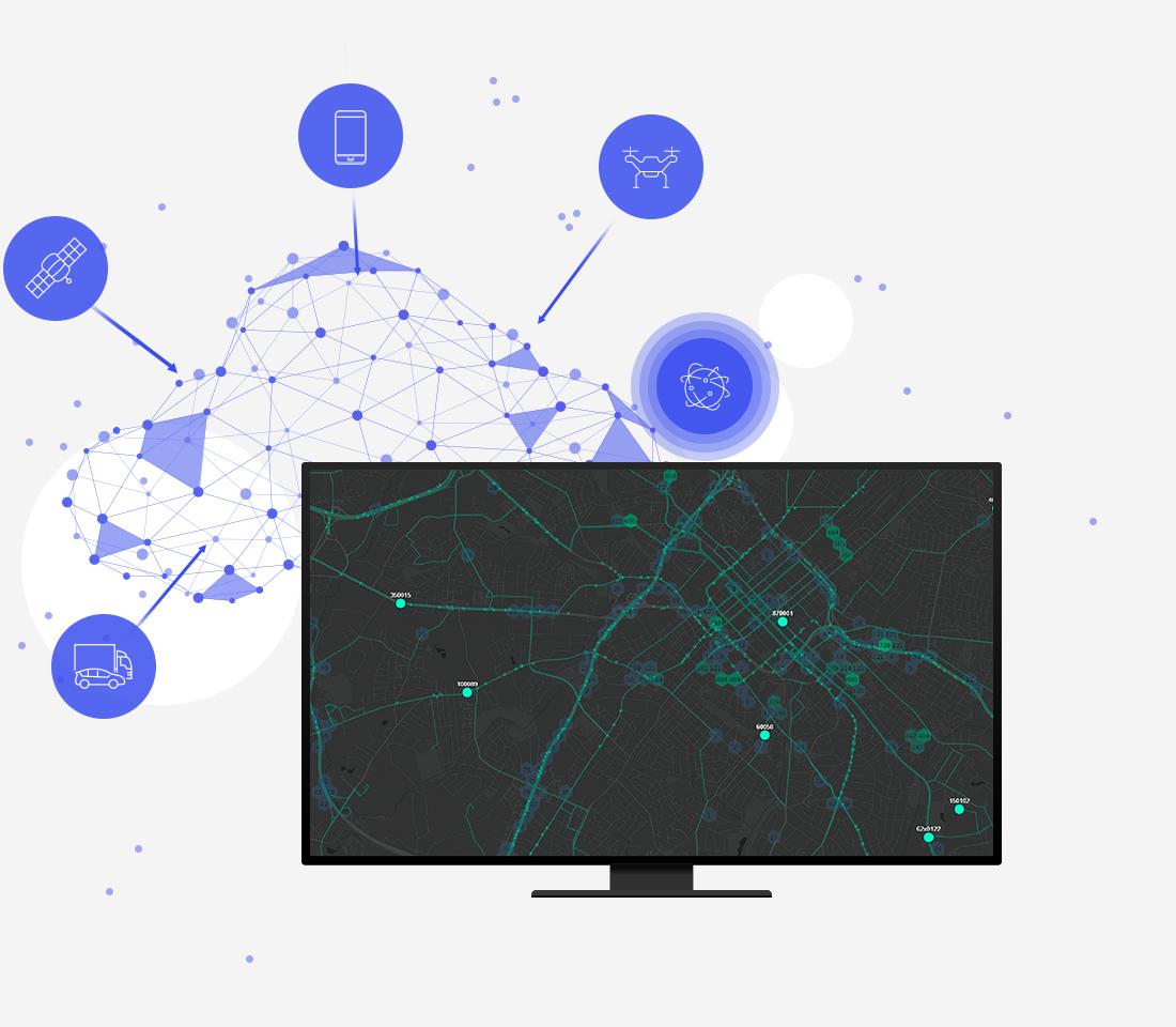
We leverage cutting-edge geospatial technologies, including advanced database solutions like PostgreSQL/PostGIS, enterprise GIS platforms such as Esri ArcGIS and QGIS, alongside cloud-native data processing frameworks. Our methodology incorporates sophisticated spatial data validation algorithms, machine learning for anomaly detection, and blockchain-inspired data lineage tracking. Solutions are often containerized using Docker and orchestrated with Kubernetes for scalable and resilient operations, ensuring data integrity at every step.
Key Operational Features
-
Data Validation & Cleansing: Automated checks for geometric errors, attribute inconsistencies, and topological issues, followed by systematic correction processes.
-
Geospatial Data Governance: Establishment of clear rules, policies, and procedures for data creation, maintenance, and dissemination to ensure consistent quality.
-
Lineage & Versioning: Implementing comprehensive tracking of data origins, transformations, and historical states for full auditability and unwavering trust.
-
Performance Optimization: Structuring GIS databases and spatial indexes for optimal query speeds and efficient access to exceptionally large datasets.
-
Security & Access Control: Robust measures to protect sensitive GIS data from unauthorized access, modification, or disclosure, ensuring confidentiality.
Quality Standards and Compliance Protocols
At LayerLedger, our service strictly adheres to international GIS data quality standards such as ISO 19157 (Data Quality) and ISO 19113/19114 (Spatial Schema/Referencing). We follow industry best practices for data management and security, aligning with GDPR, CCPA, and sector-specific regulations where applicable. All processes are meticulously documented through rigorous protocols, ensuring transparency, repeatability, and compliance with client-specific mandates and regulatory frameworks for geospatial data integrity.
Service Integration and Adaptation
Setting up the service involves a collaborative assessment of the client's existing GIS infrastructure and current data workflows. We adapt our solutions to seamlessly integrate with current systems, whether on-premises or cloud-based environments. Integration strategies include API-driven connections, custom connectors, and robust data synchronization routines, minimizing disruption while significantly enhancing data trust. Our team ensures a smooth transition and operational continuity, tailoring every aspect to specific organizational needs.
Control, Security, Testing, and Optimization
A multi-layered control system is in place, featuring continuous monitoring of data quality metrics and overall system performance. Security protocols include encryption at rest and in transit, stringent access control lists, and regular vulnerability assessments. Rigorous testing, encompassing unit, integration, and user acceptance tests, validates data integrity and system functionality. Ongoing optimization cycles are applied to improve processing efficiency, data accuracy, and overall system resilience, ensuring sustained data trustworthiness.
Compatibility with Other Solutions
The LayerLedger service is designed for broad compatibility, seamlessly integrating with leading enterprise resource planning (ERP) systems, customer relationship management (CRM) platforms, and other business intelligence tools. We support various industry-standard data formats (e.g., GeoJSON, Shapefile, KML, GDB) and spatial databases, ensuring interoperability with existing analytical tools and visualization platforms. This flexibility allows for a unified view of spatial and business data, enhancing overall operational intelligence.
Scalability, Modernization, and Future Development
Our architecture is inherently scalable, designed to handle growing data volumes and increasing complexity without compromising performance. We continuously monitor technological advancements and integrate new capabilities, ensuring the service remains at the forefront of GIS data integrity solutions. Regular updates and feature enhancements are part of our commitment to modernization, providing clients with a future-proof platform that evolves dynamically with their geospatial data needs and emerging industry trends.
Conclusion on Reliability and Effectiveness
The LayerLedger service delivers a technologically mature and highly effective solution for establishing and maintaining trust in your GIS data. Its robust design, unwavering adherence to strict standards, and continuous optimization ensure unparalleled reliability. By providing a foundation of verified geospatial information, we empower organizations to make confident, data-driven decisions with lasting impact and strategic advantage.