Best Services
LayerLedger offers essential services designed to elevate your GIS documentation and team collaboration.
Master Your GIS Layer Documentation
Mastering GIS Layer Documentation Our service provides a comprehensive solution for organizing, standardizing, and.
Achieve Consistent Map Interpretation
Ensuring Uniform Geospatial Understanding Our service provides a robust framework for Achieving Consistent Map.
Contextualize All Your GIS Data Sources
Unifying Geospatial Intelligence LayerLedger offers a comprehensive framework for centralizing and contextualizing all.
Preserve GIS Project History & Context
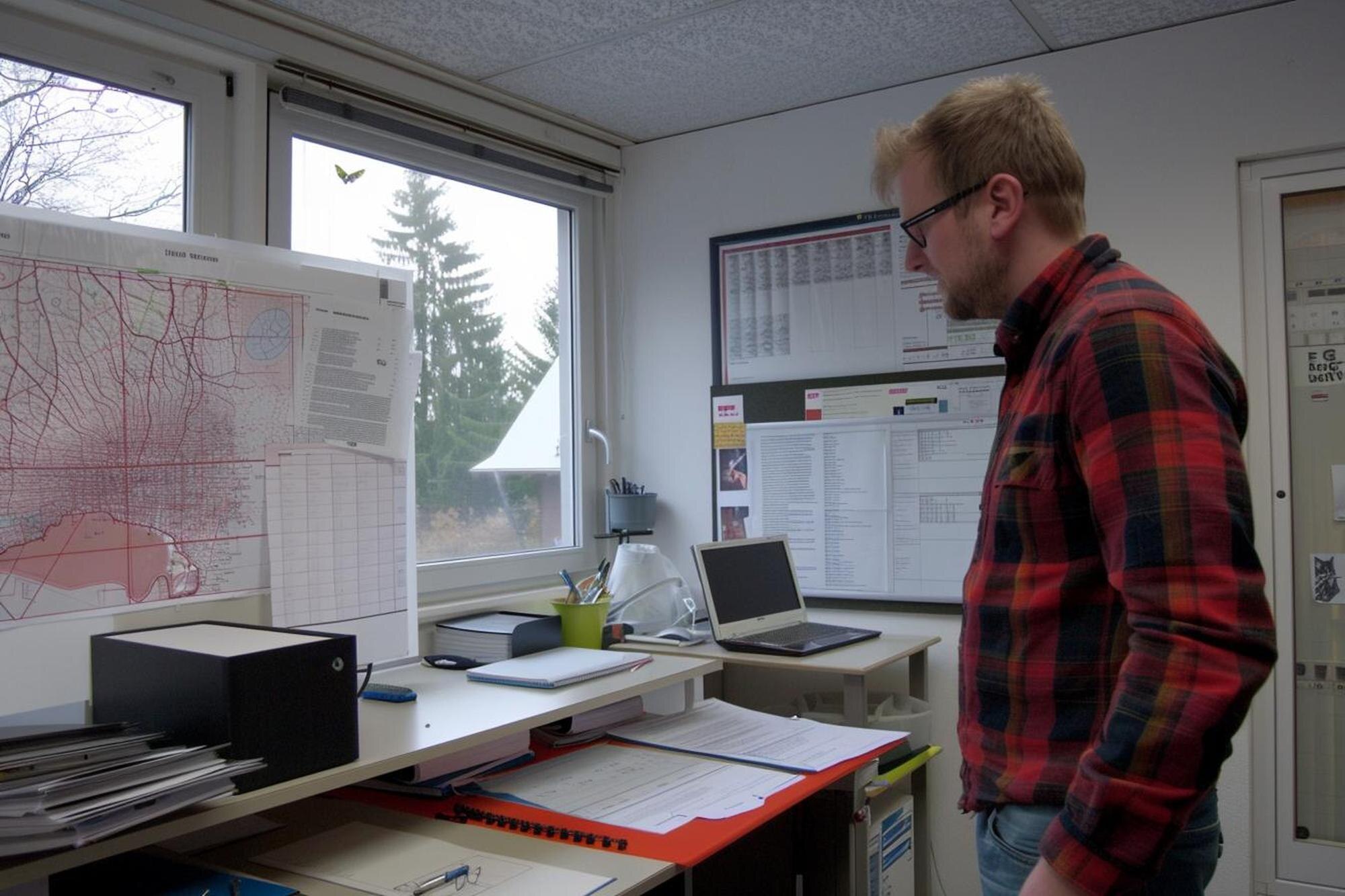
Preserving GIS Project History & Context LayerLedger's service meticulously preserves the complete history and.
Streamline Team GIS Map Understanding
Service Overview Our LayerLedger service empowers teams to achieve a unified and intuitive understanding of complex.
Build Enduring Trust in Your GIS Data
Building Enduring Trust in Your GIS Data Our service, from LayerLedger, ensures the absolute integrity and reliability.
Our Skills
Our expertise in GIS, data management, and collaborative platforms ensures a top-tier solution.
LayerLedger is built on a foundation of deep understanding in geographic information systems and data integrity. Our platform integrates seamlessly with existing workflows, providing powerful tools for clarity and consistency in spatial data projects, empowering every team member.
GIS Integration
Data Governance
User Experience
Scalable Architecture

Why Choose Us
Find What Works Best for You
LayerLedger stands out by providing a dedicated, intuitive platform for GIS documentation. We focus on clarity, collaboration, and consistency, ensuring your spatial data is always understood and correctly applied across all projects.
Unrivaled Clarity
Eliminate ambiguity in your GIS projects with detailed, structured documentation that's easy to create and understand for every team member.
Seamless Collaboration
Foster a shared understanding across your team, ensuring consistent data interpretation and smoother project execution from start to finish.
Latest News & Blog
Stay informed with the latest insights, best practices, and updates from the world of GIS and data documentation.

Unlocking GIS Clarity: The Power of Layer Documentation
In today's rapidly evolving digital landscape, Geographic Information Systems.
Read More
GIS Data Integrity: Why Context is Your Most Valuable Layer
The realm of Geographic Information Systems (GIS) is fundamentally about.
Read More
Beyond the Basemap: Documenting Layers for Team Success
The Imperative of Layer Documentation for Team Success The foundational role.
Read More